
ܠܦܦܐ:CanadaWorldMap.png

ܥܓܪܐ ܕܓܠܚܐ: 800 × 352 ܦܩܣܠ. Other resolutions: 320 × 141 ܦܩܣܠ | 640 × 282 ܦܩܣܠ | 1,427 × 628 ܦܩܣܠ.
ܠܦܦܐ ܫܪܫܝܐ (1,427 × 628 ܦܩܣܠ، ܥܓܪܐ ܕܠܦܦܐ: 28 KB، ܐܕܫܐ ܕ MIME: image/png)
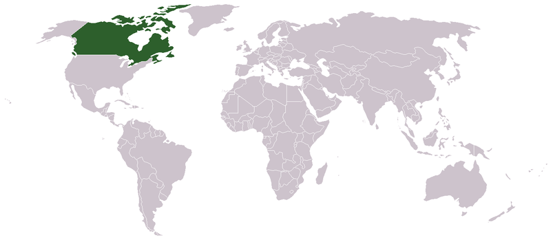
map of canada, public domain. created by clevelander at en:wikipedia
| This work has been released into the public domain by its author, Aivazovsky. This applies worldwide. In some countries this may not be legally possible; if so: |
ܬܫܥܝܬܐ ܕܠܦܦܐ
Click on a date/time to view the file as it appeared at that time.
| ܣܝܩܘܡܐ/ܙܒܢܐ | ܨܘܪܬܐ ܙܥܘܪܬܐ | ܩܝܡ̈ܐ | ܡܦܠܚܢܐ | ܥܘܩܒܐ | |
|---|---|---|---|---|---|
| ܗܫܝܐ | 14:49, 9 ܒܚܙܝܪܢ 2006 | | 1,427 × 628 (28 KB) | Happenstance | map of canada, public domain. created by clevelander at en:wikipedia {{pd}} |
ܡܦܠܚܬܐ ܕܠܦܦܐ
ܠܝܬ ܦܐܬܐ ܕܐܣܪ ܠܗܢܐ ܠܦܦܐ.
ܡܦܠܚܢܘܬܐ ܓܘܢܝܬܐ ܕܠܦܦܐ
The following other wikis use this file:
- Usage on cs.wikipedia.org
- Usage on en.wikipedia.org
- Usage on new.wikipedia.org
- Usage on yi.wikipedia.org